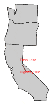
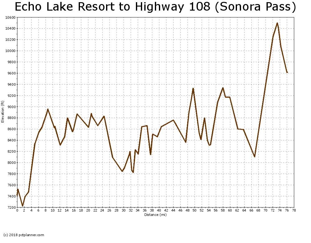
PCT SoBo - CA Section J - Echo Summit to Sonora Pass

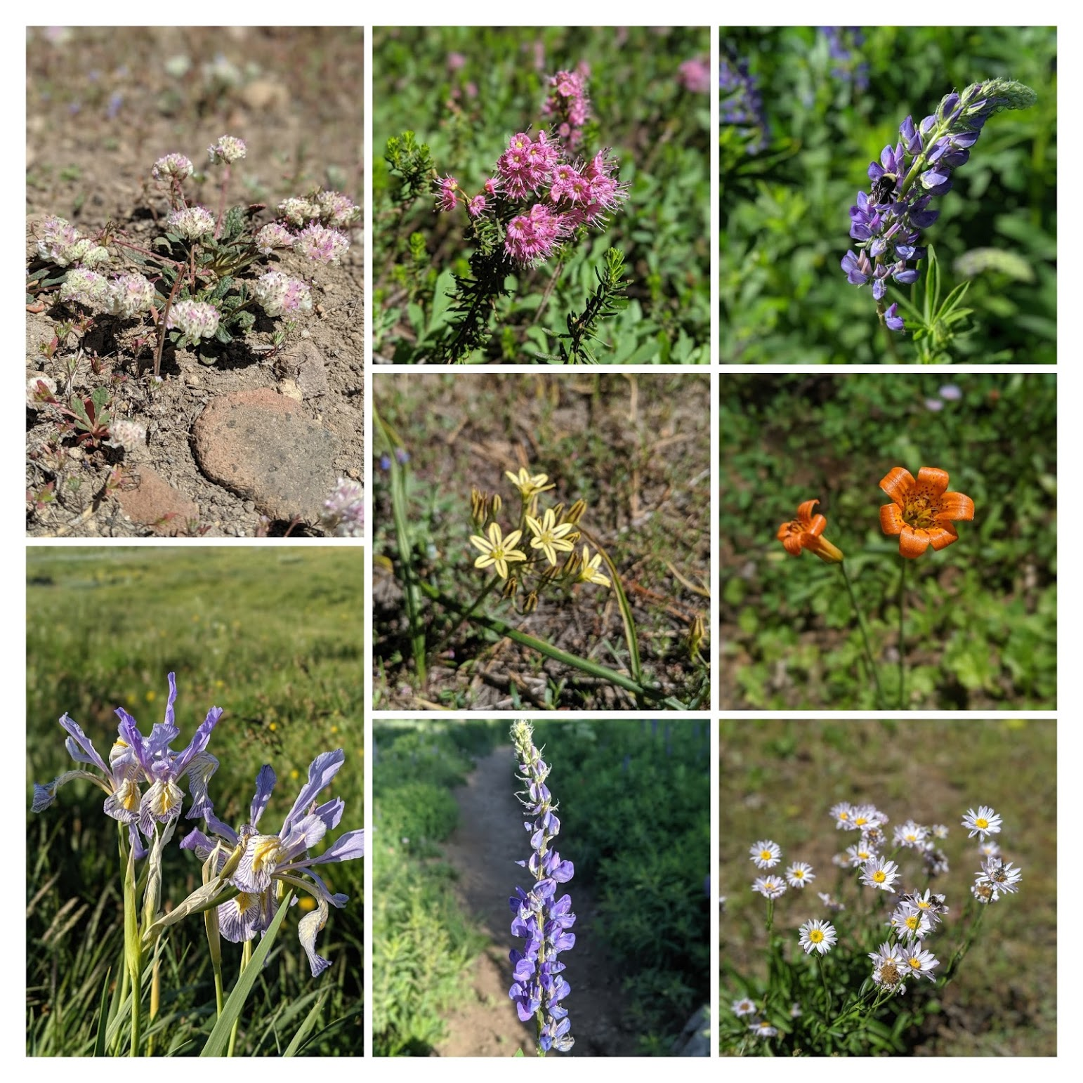
Section J of the PCT going south starts at Echo Summit on Highway 50. The trail quickly climbs up a 1000 ft or so around granite boulders and mountain streams. I got my final view of Lake Tahoe on the way up. Once the trail flatten out, I immediately dropped into Bryan Meadow. It was in full bloom. Almost every flower species I knew of that is endemic to this part of Sierras could be found there. The last few chunks of snow clung to the dark parts of the forest.
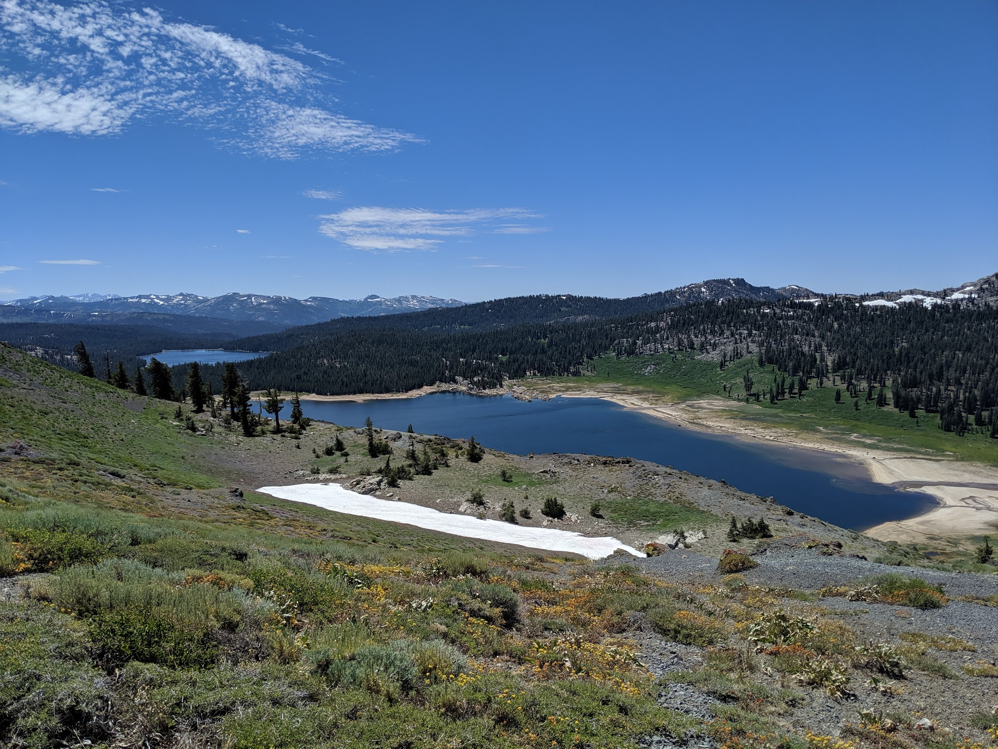
The trail went quickly as I headed towards Carson Pass on Highway 88. I passed by a few alpine lakes, the Upper Truckee River and marshlands packed with mosquitoes. This time I had brought repellent. It made these areas much more enjoyable. I spent the first night by Frog Pond, a few miles in from the start of the Mokelumne Wilderness.
I've been able to use my hammock every night so far. I still bring my tent in case I have to camp above the tree line or inclement weather. Being able to sleep in the open underneath the stars while still being above the ground has been enjoyable. It's also great to be able to sleep on the level even when the terrain below you isn't.
The second day did not offer any new scenery to me. I had done much of the Mokelumne Wilderness in an overnight trip last year. I'm glad I didn't skip it though. Walking south this time made the scenery seem almost new. The landscape had been transformed by how wet the winter was this year. I've yet to see a spot in Alpine County that hasn't impressed me. I camped in the same spot I did last year if only for a sense of continuity.
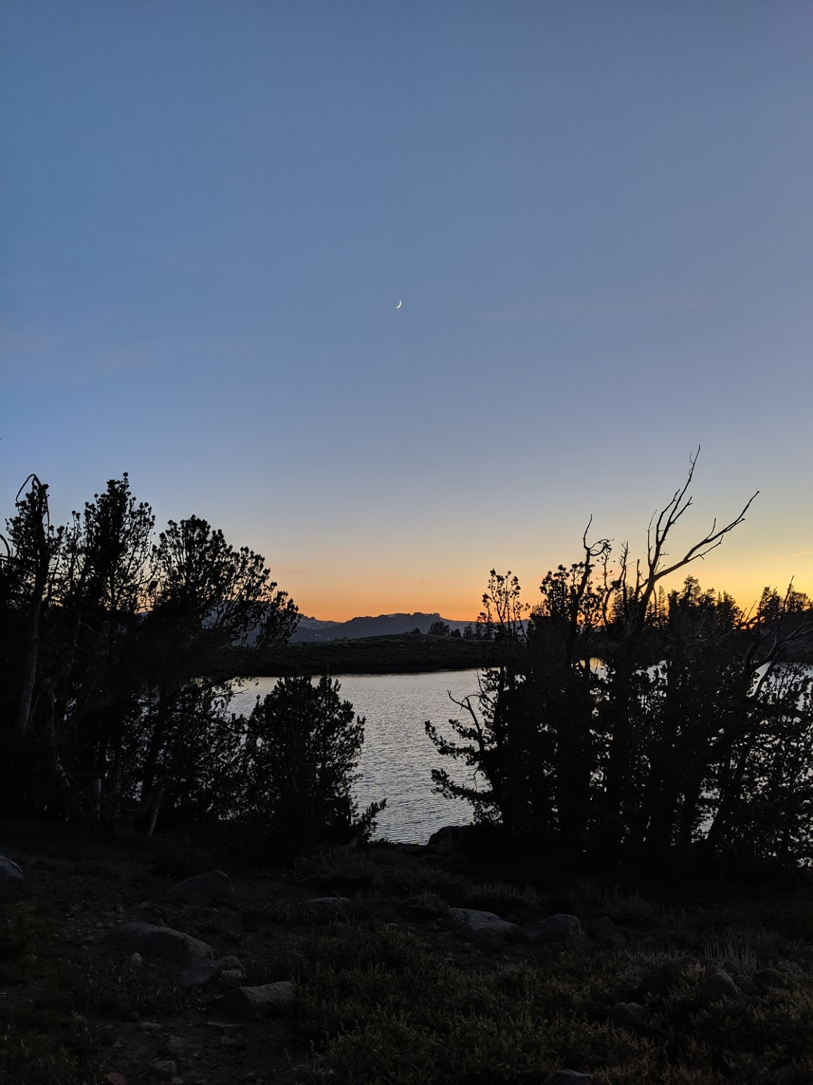
The next day started with another big climb with great views into Western Nevada. I passed chattering Clark's Nutcrackers and giant Sierra Junipers on my way to Ebbetts Pass. On the other side of the highway, you first go down into the canyon carved by Noble Creek, at tributary of the Carson River. The trail goes to the head of the canyon, crosses it and then up into the mountains. I finished the day by the shores of Noble Lake. It has been my favorite site so far. Excellent views of the beautiful lake and canyon made for a stunning sunset.
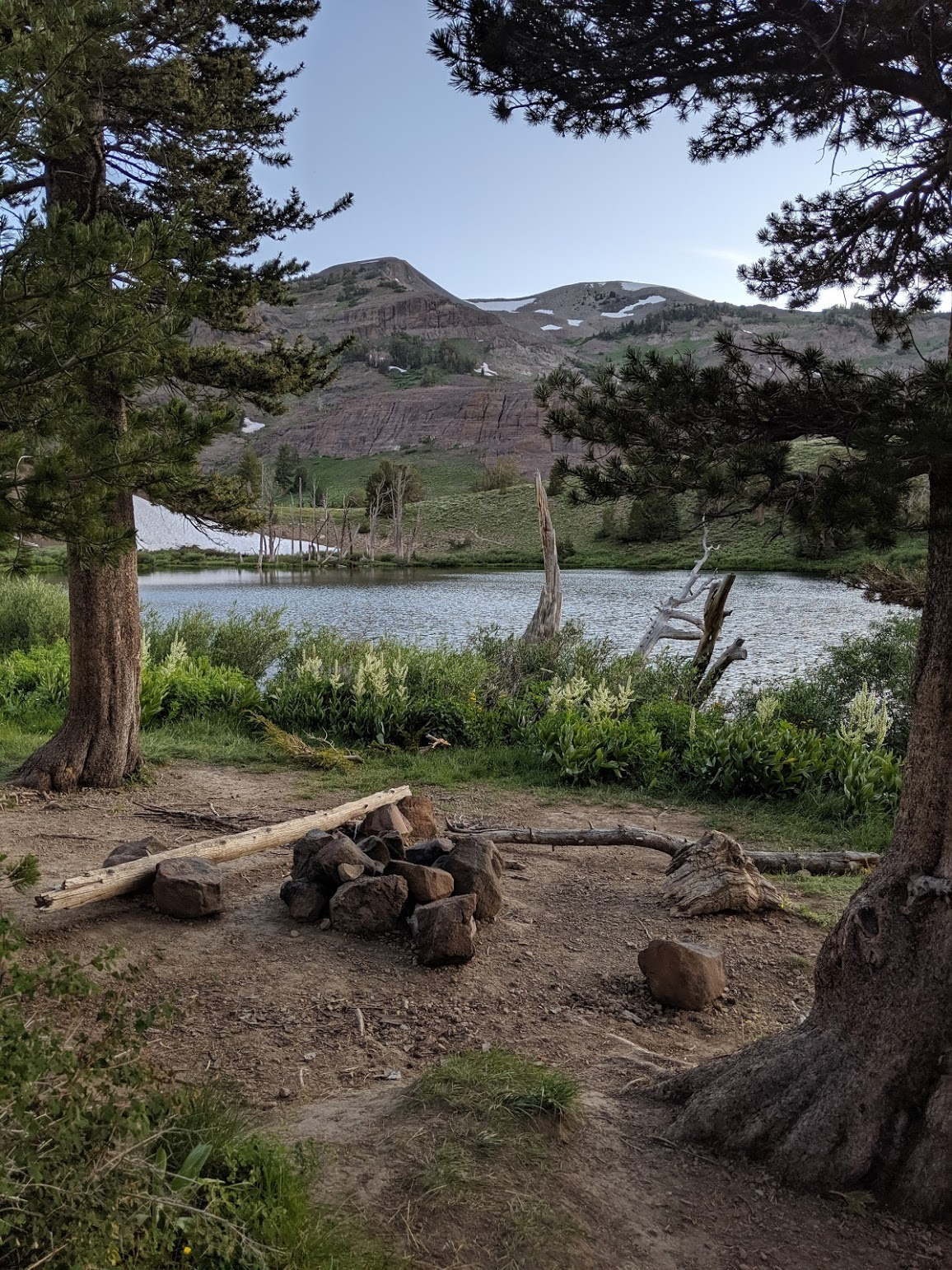
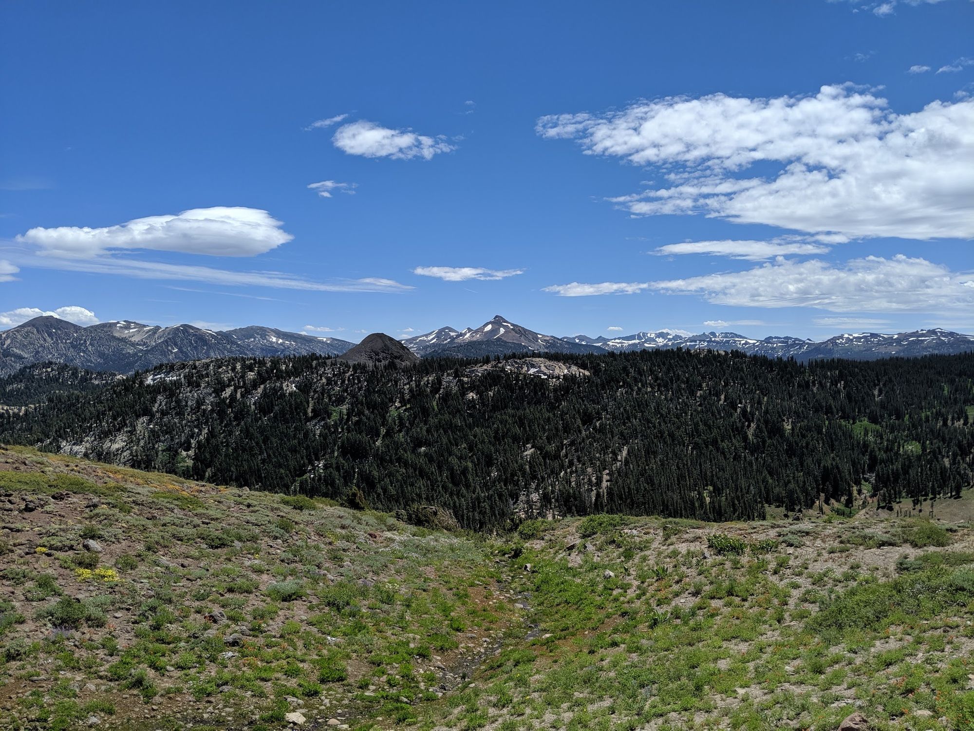
The next major highway was I was headed for was Sonora Pass. I started the morning by dropping into the valley where the Carson-Iceberg Wilderness starts. The entire day was filled by passing through pristine wilderness. It was nothing but pleasant and rugged glacially carved valleys separated by majestic mountains. I ended the day by camping above headwaters of the East Fork of the Carson river, opposite golden granite cliffs.
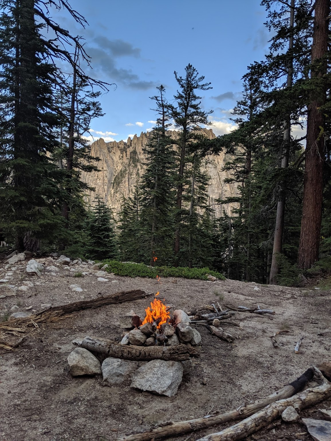
From there, it was a gradual climb of 3000 ft out of the canyon and over to Sonora Pass, the end of the section.