Henness Pass Driving Tour

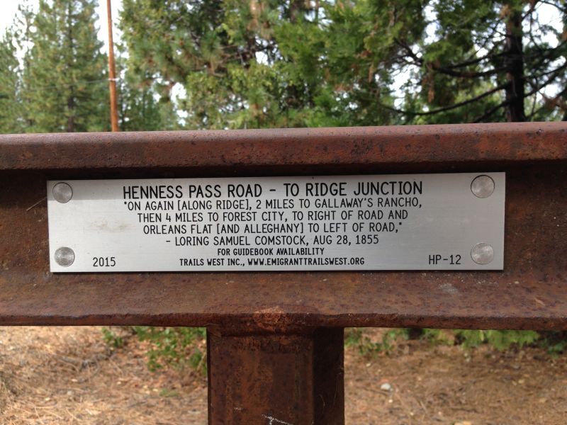
Henness Pass was the most popular Sierra pass before the transcontinental railroad was finished. It offered the lowest elevation and shortest distance to get over the mountains from California to Nevada. For 10 years or so, it was a toll road that thousands of people and almost all cargo went through.
You can still drive it today. It cuts through some beautiful and rugged terrain, mostly in Sierra County, California. A good chunk of it is paved (from Highway 89 to Jackson Meadows) but it is mostly forest road. Information about it is scarce. I found an old pamphlet about it and scanned it. I'm posting it here in case it might be of any use to others.
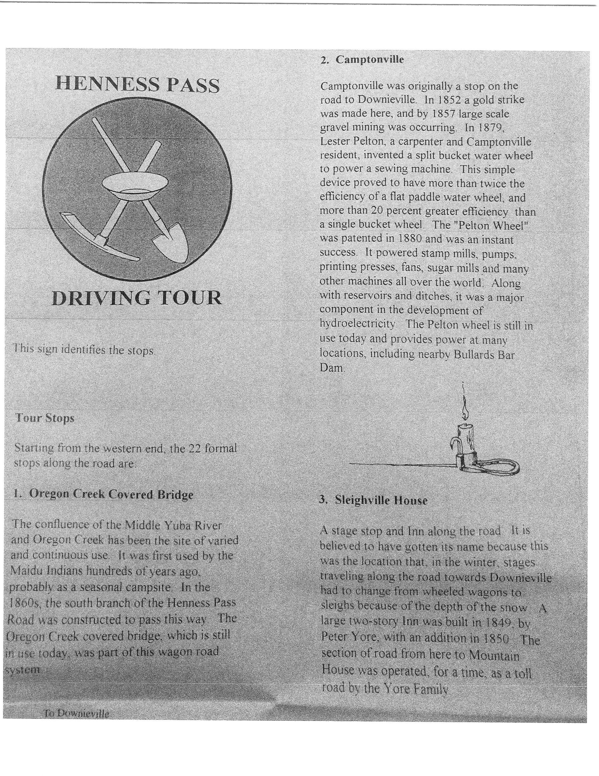
HENNESS PASS DRIVING TOUR
Oregon Creek Covered Bridge
The confluence of the Middle Yuba River and Oregon Creek has been the site of varied and continuous use over time. It was first used by the Maidu Indians hundreds of years ago, probably as a seasonal campsite. In the 1860s, the south branch of the Henness Pass Road was constructed to pass this way. The Oregon Creek covered bridge, which is still in use today, was part of this wagon road system.
Camptonville
Camptonville was originally a stop on the road to Downieville. In 1852 a gold strike was made here, and by 1857 large scale gravel mining was occurring. In 1879, Lester Pelton, a carpenter and Camptonville resident, invented a split bucket water wheel to power a sewing machine. This simple device proved to have more than twice the efficiency of a flat paddle water wheel, and more than 20% greater efficiency than a single bucket wheel. The Pelton Wheel was patented in 1880 and was an instant success. It powered stamp mills, pumps, printing presses, fans, sugar mills and many other machines all over the world. Along with reservoirs and ditches, it was a major component in the development of hydroelectricity. The Pelton wheel is still in use today and provides power at many locations, including nearby Bullards Bar Dam.
Sleighville House
Sleighville was a stage stop and inn along the road. It is believed to have gotten its name because this was the location that, in the winter, stages traveling along the road towards Downieville had to change from wheeled wagons to sleighs because of the depth of the snow. A large twostory inn was built in 1849,by Peter Yore, with an addition in 1850. The section of road from here to Mountain House was operated, for a time, as a toll road by the Yore Family.
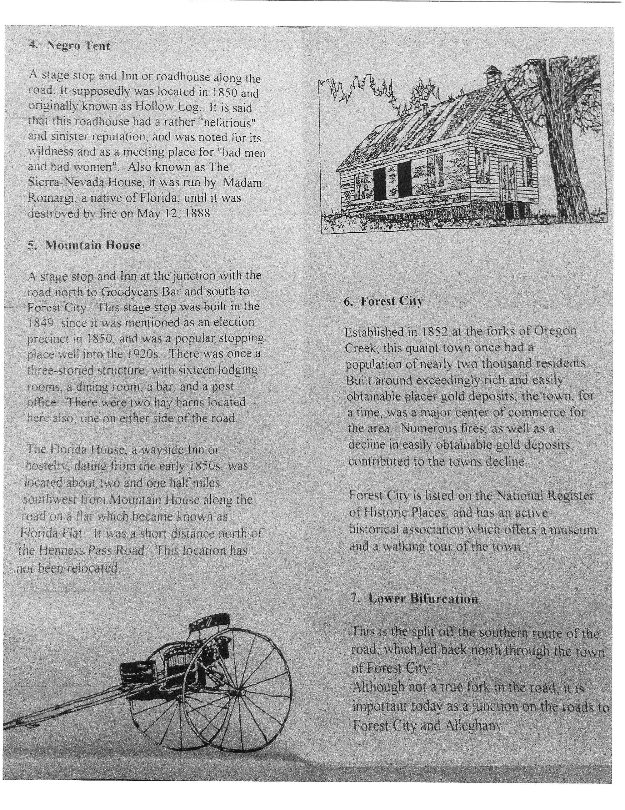
Negro Tent
A stage stop and Inn or roadhouse along the road. It supposedly was located in 1850 and originally was known as Hollow Log. It is said that this roadhouse had a rather "nefarious" and sinister reputation, and was noted for its wildness and as a meeting place for "bad men and bad women". Also known as The Sierra Nevada House, it was run by a Madam Romargi, a native of Florida, until it was destroyed by fire on May 12, 1888.
Mountain House
This stage stop was located at the junction between the road north to Goodyears Bar and south to Forest City. It is believed the stage stop was built in 1849, since it was mentioned as an election precinct in 1850, and was a popular stopping place well into the 1920s. There was once a three-storied structure, with sixteen lodging rooms, a dining room, a bar, and a post office. There were two hay barns located here also, one on either side of the road. The Florida House, a wayside inn or hostelry, dating back from the early 1850s, was located about two and one half miles southwest from Mountain House along the road on a flat which became known as Florida Flat. It was a short distance north of the Henness Pass Road.
Forest City
Established in 1852 at the forks of Oregon Creek, this quaint town once had a population of nearly two thousand residents. Built around exceedingly rich and easily obtainable placer gold deposits, the town, for a time, was a major center of commerce for the area. Numerous fires, as well as a decline in easily obtainable gold deposits, contributed to the town’s decline. Forest City is listed on the National Register of Historic Places, and has an active historical association which offers a museum and a walking tour of the town. 7. Lower Bifurcation This is the turnoff for the southern route of the road, which led back north through the town of Forest City. Although not a true fork in the road, it is important today as a junction on the roads to Forest City and Alleghany.
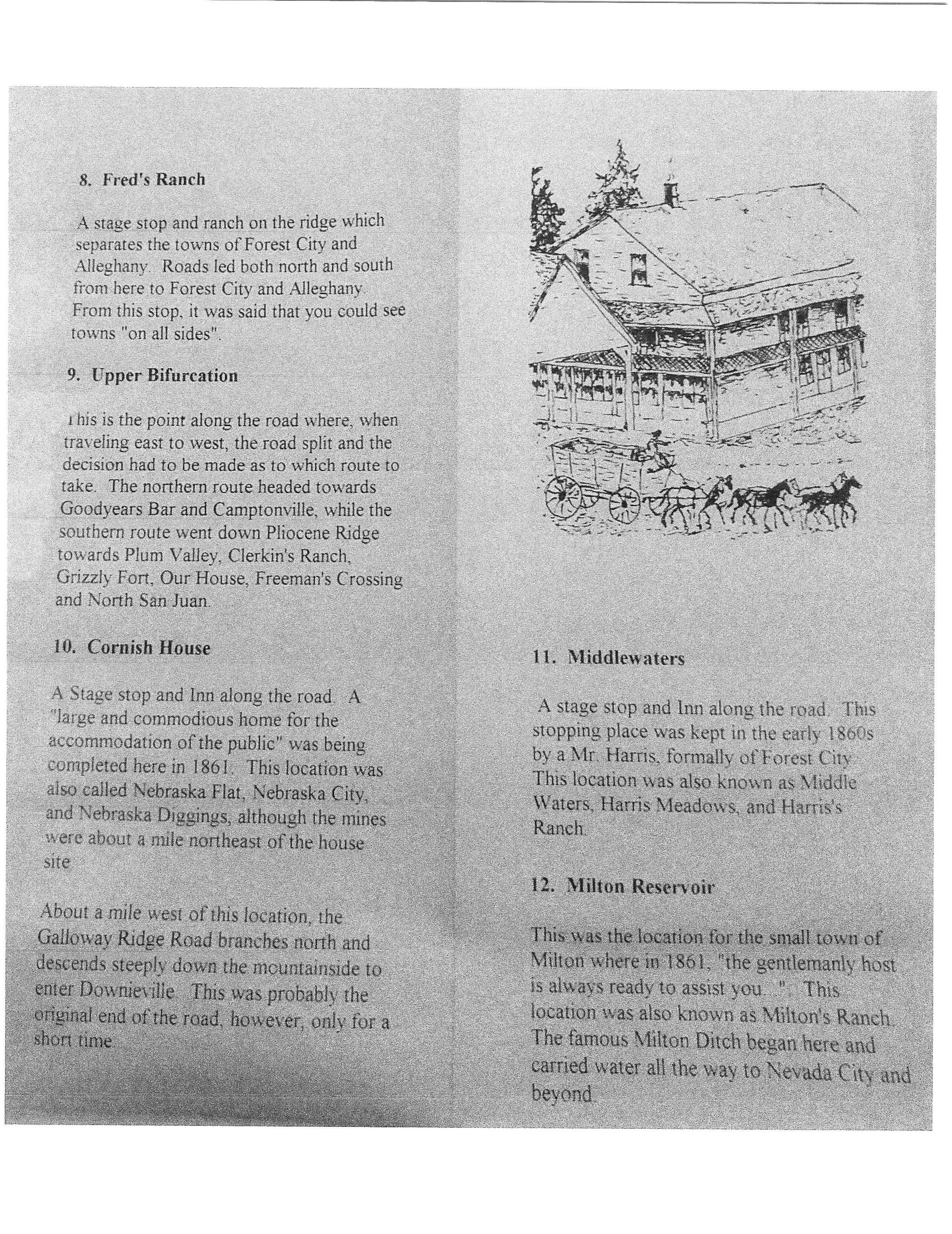
Fred's Ranch
A stage stop and ranch on the ridge which separates the towns of Forest City and Alleghany. Roads led both north and south from here to Forest City and Alleghany. From this stop, it was said that you could see towns "'on all sides".
Upper Bifurcation
This is the point along the road where when traveling east to west, the road split and the decision had to be made as to which route to
take. The northern route headed towards Goodyears Bar and Camptonville, while the southern route went down Pliocene Ridge towards Plum Valleys Clerkin's Ranch, Grizzly Fort, Our House, Freeman's Crossing and North San Juan.
Cornish House
The Cornish House stage stop and inn was considered a “large and commodious home for the accommodation of the public” that was completed in 1861. This location was also called Nebraska Flat, Nebraska City, and Nebraska Diggings, although the mines were about a mile northeast of the house site. About a mile west of this location, the Galloway Ridge Road branches north and descends steeply down the mountainside to enter Downieville. This was probably the original end of the road, however, only for a short time.
Middlewaters
This stopping place was kept in the early 1860s by a Mr. Harris, formally of Forest City. This location was also known as Middle Waters, Harris Meadows, and Harris’ Ranch.
Milton Reservoir
This was the location for the small town of Milton where in 1861, “the gentlemanly host is always ready to assist you…”. This location was also known as Milton’s Ranch. The famous Milton Ditch began here and carried water all the way to Nevada City and beyond.
Jackson Meadows
Jackson Meadows is now under the waters of the reservoir. Accounts in 1852 indicate Jackson and Henness ran a ranch at this location and harvested bay from the meadows. The ranch is most frequently referred to as Jackson's Ranch. Records indicate that in 1861 the property belonged Richard Roffold and that he was building "the finest three-storied building that you can find outside of towns".
Davis Station
Described in historic literature as a ranch of 160 acres on the Henness Pass Road, it was located three miles west of More’s Station, and was valued at $995.00. These values were assessed as: Claim $200.00, improvements $500.00, mule $25.00, two horses $80.00, three cows $60.00, two oxen $80.00 and furniture $50.00. Features visible today include a dry laid stone foundation for the main house, a rock outline for the corral, an earthen platform that may have been for a large barn, and a hay press tree that was used to press hay into bales.
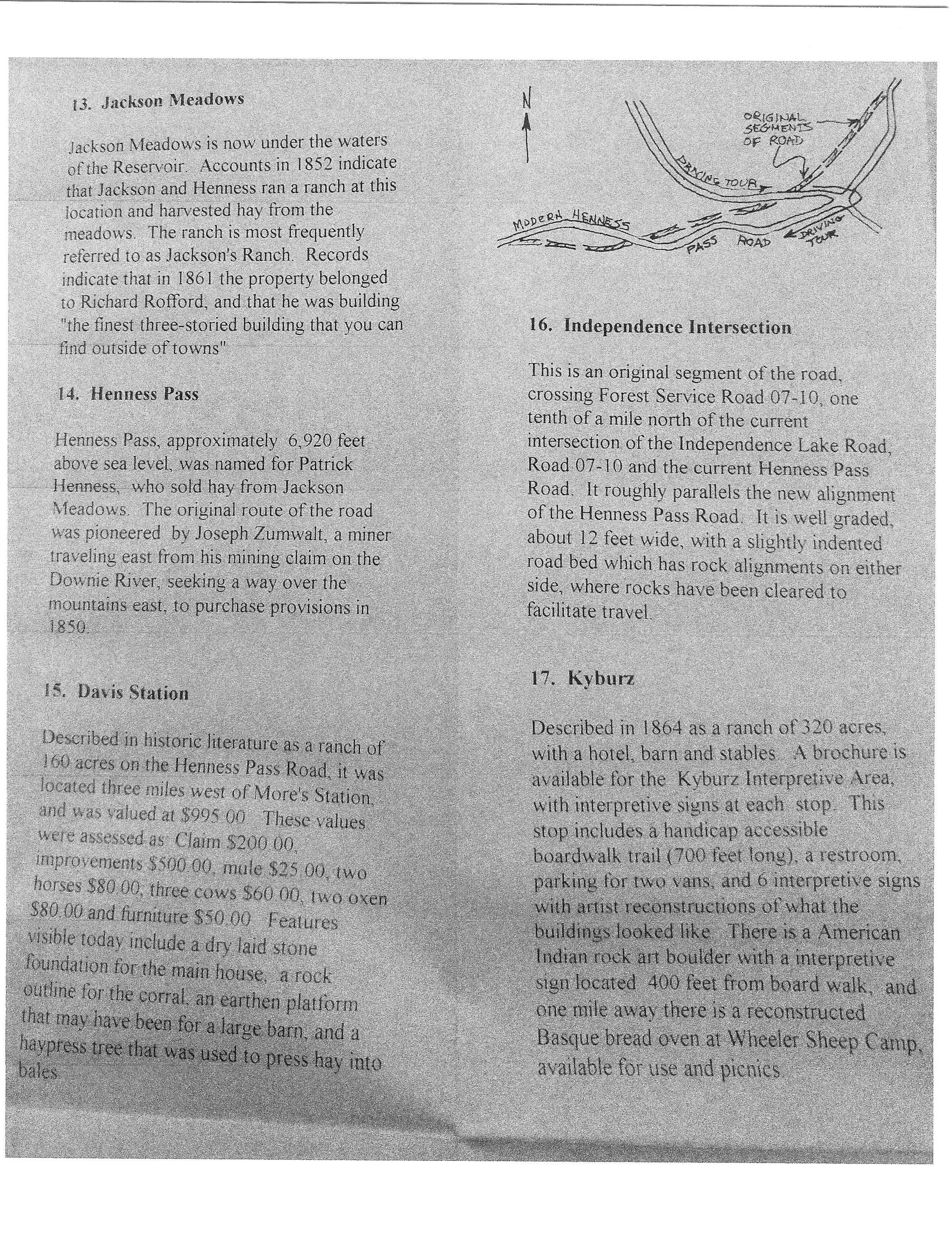
Independence Intersection
This is an original segment of the road crossing Forest Service Road 07-10, one tenth of a mile north of the current intersection of the Independence Lake Road, Road 07-10 and the current Henness Pass Road. It roughly parallels the new alignment of the Henness Pass Road. It is well graded, about 12 feet wide, with a slightly indented road bed which has rock alignments on either side, where rocks have been cleared to facilitate travel.
Kyburz
Described in 1864 as a ranch of 320 acres, with a hotel, barn and stables. This stop includes a handicap accessible boardwalk trail (700 feet long), a restroom, parking for two vans, and 6 interpretive signs with artist reconstructions of what the buildings looked like for More’s Station. There is an American Indian petroglyph rock located here. Some researchers believe these petroglyphs were made by native people who lived in the area as early as 2,000 years ago. There is also a site dedicated to the Wheeler Sheep Camp that operated circa 1913-1958. A brochure of the Kyburz Interpretive Area can be obtained through the Tahoe National Forest. There are interpretive signs at these stops as well
Junction House
Listed for the first time in the Sierra County Tax Assessment Rolls for 1865, owned by JH Jordon. By 1866, this location was listed as a ranch of 160 acres, a the junction of the Sierraville Road. This road connected the community of Sierraville with Virginia City and other Comstock towns. Sierraville was noted for being the location where, by the middle 1860s, numerous products were grown for and shipped to the Comstock area, including hay, beef, dairy products, and lumber.
620 Stage Stop
Sierra County maps from the 1860s identify this location as the site of a hotel and way station.
Second Summit
Probably got its name from the original emigrants use of the trail in the mid 1840s. This was the first summit they came to after climbing out of Dog Valley to the east making this the “Second Summit” on the road west after leaving the Truckee Meadows area.
First Summit
The Emigrant Trail up the Truckee River was moved to a route over First Summit in 1845 because it was much easier than the route up the Truckee River Canyon. Joseph Baker had a stage stop and hotel servicing traffic along the Henness Pass Road here in the 1860s. This part of the road was also part of the Lincoln Highway in 1915, and the Victory Highway in 1920.