PCT SoBo - CA Section G - Kearsarge Pass to Walker Pass
End of the John Muir Trail
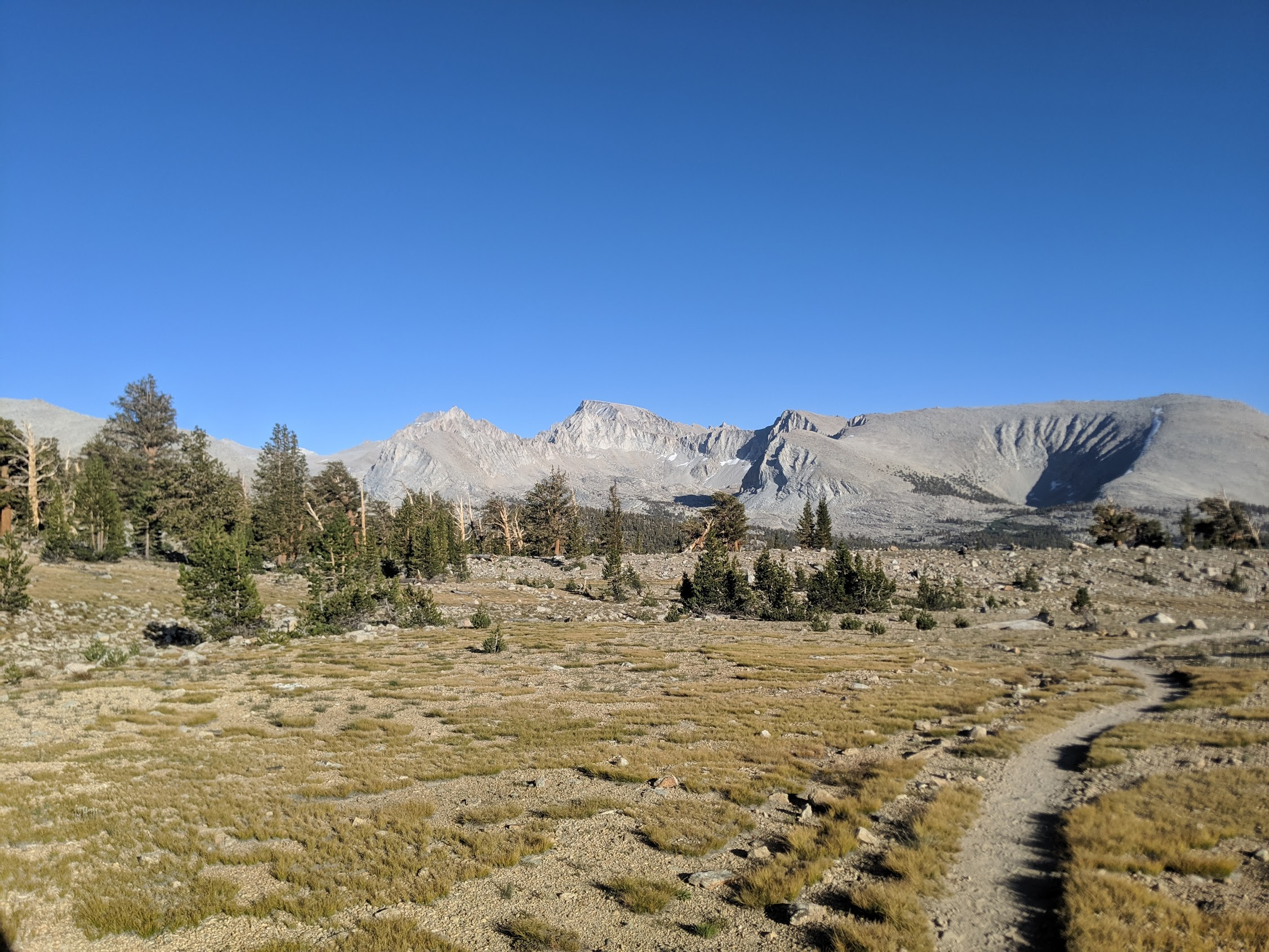
Getting back over into the Sierras from Independence seemed easy. A quick 5 miles up and over the pass dropped me into the stunning wilderness of mountains and clear lakes. By the time I rejoined the JMT, it was quickly becoming dark. I hiked to a campsite deep in the woods in one of the canyons between the next pass and where I started.
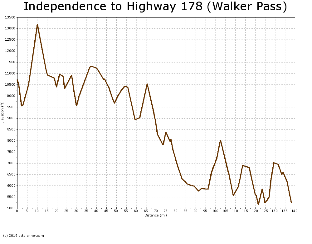
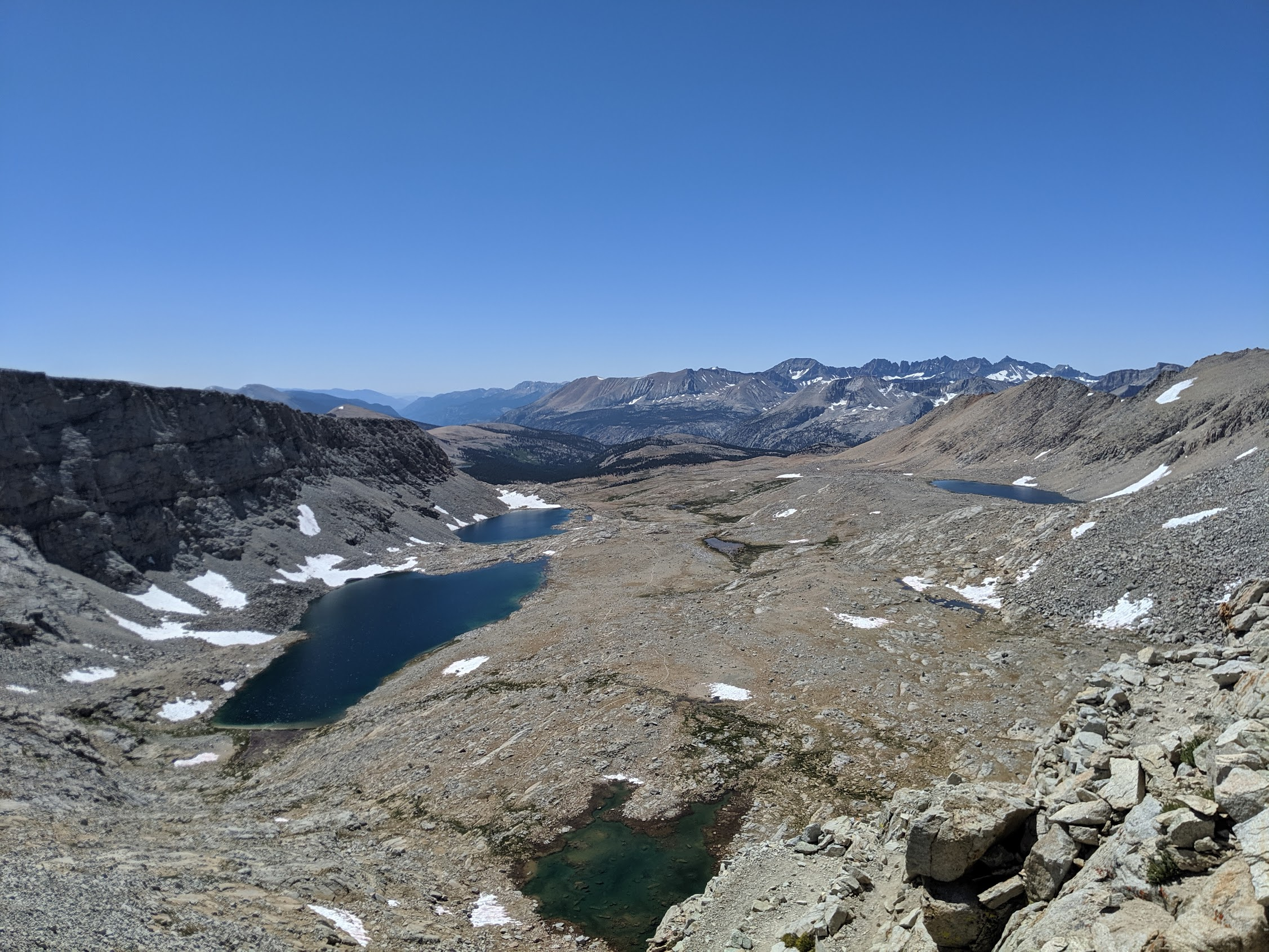
The next morning, I headed straight up to tackle the hardest pass I had encountered yet. Forester Pass is also the high point of the PCT at just over 13k. It was a long, arduous climb. I stopped at the top for lunch and the view was easily one of the highlights of the JMT.
On the way down from the pass, I ran into the oldest hiker I've met yet. She was 78 and had a great attitude. She was only doing 5 miles a day but I could tell she was loving every minute of it. I hope I can continue to enjoy the wilderness that long into my life.
It was the next morning when I first spotted Mt. Whitney on the horizon. Ascending to the top was one of my most memorable hikes of last year. As I approached it closer and closer, I reflected on how fortunate I was to be able to have hiked the John Muir Trail this year. Before I knew it, I had passed the turnoff for Mt. Whitney and was back on the plain old PCT once again.
Desert Rain
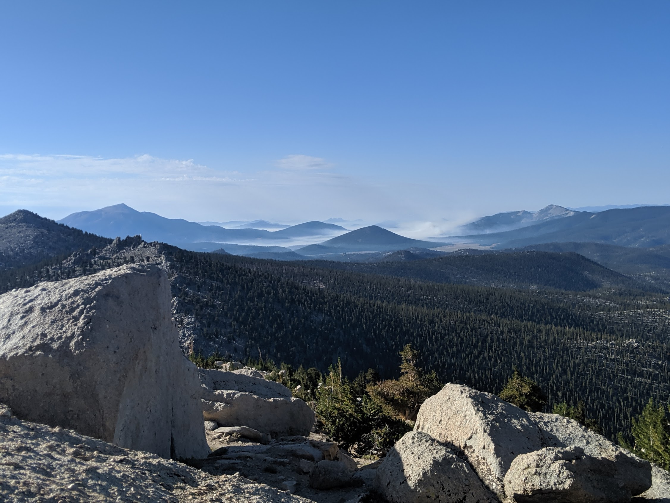
From here on out, the landscape shifted dramatically into a drier climate. Lodgepole and white pine turned into juniper and pinyon. I continued on a great pace and had my first 20+ mile day since entering the Sierras.
I started to pass significantly less people than I had only a day earlier. Often times, the silence of the great outdoors was only interrupted by distant mooing of cattle grazing down in the meadows below. Mosquitoes were quickly becoming a far away memory.
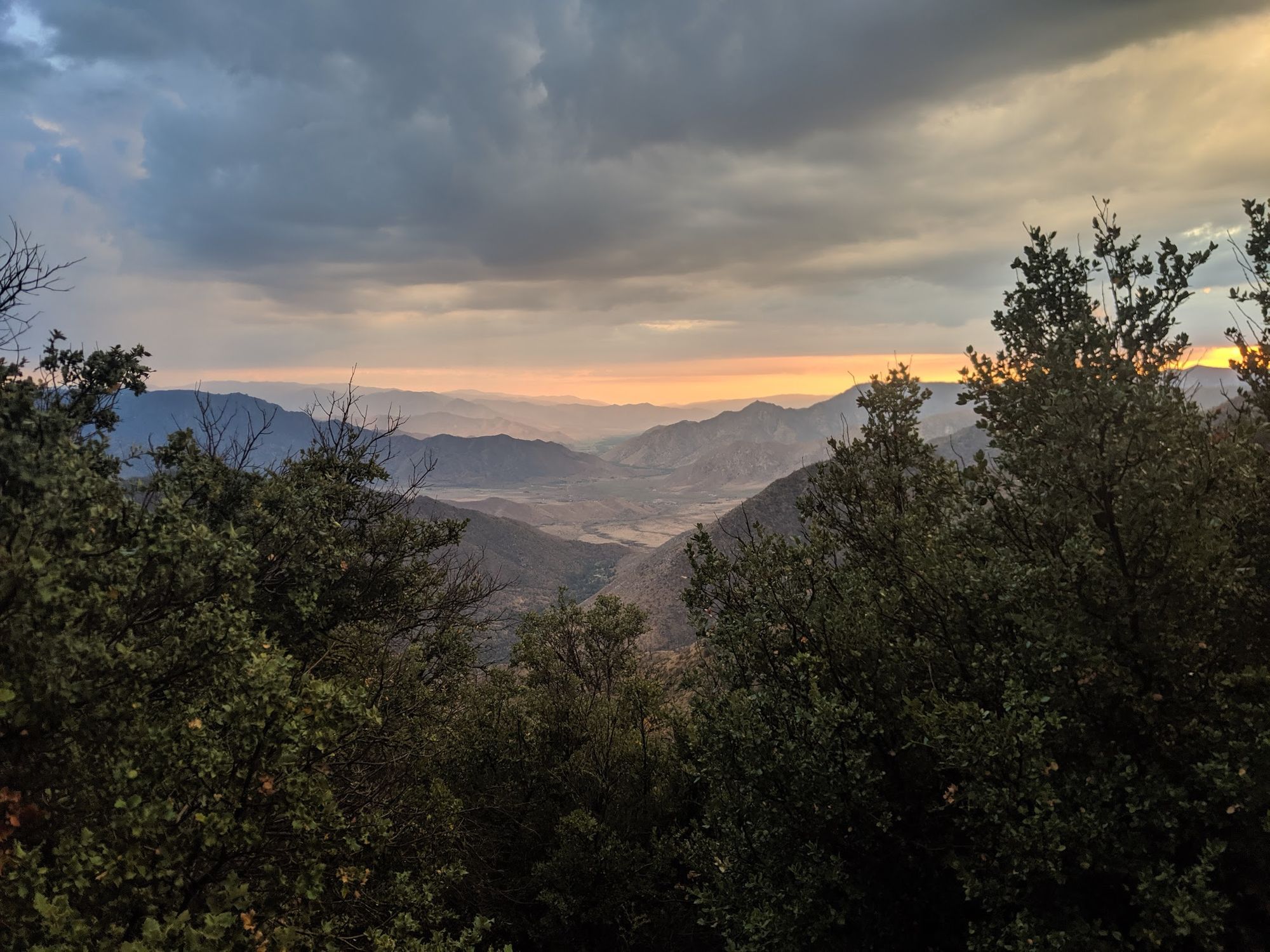
I encounter my first instance of smoke and rain on the trail the very same day. The fire was far away not to worry about but the rain poured on me for over an hour. The thunder was loud and lightning close. Fortunately, it stopped raining by the time I set up camp.
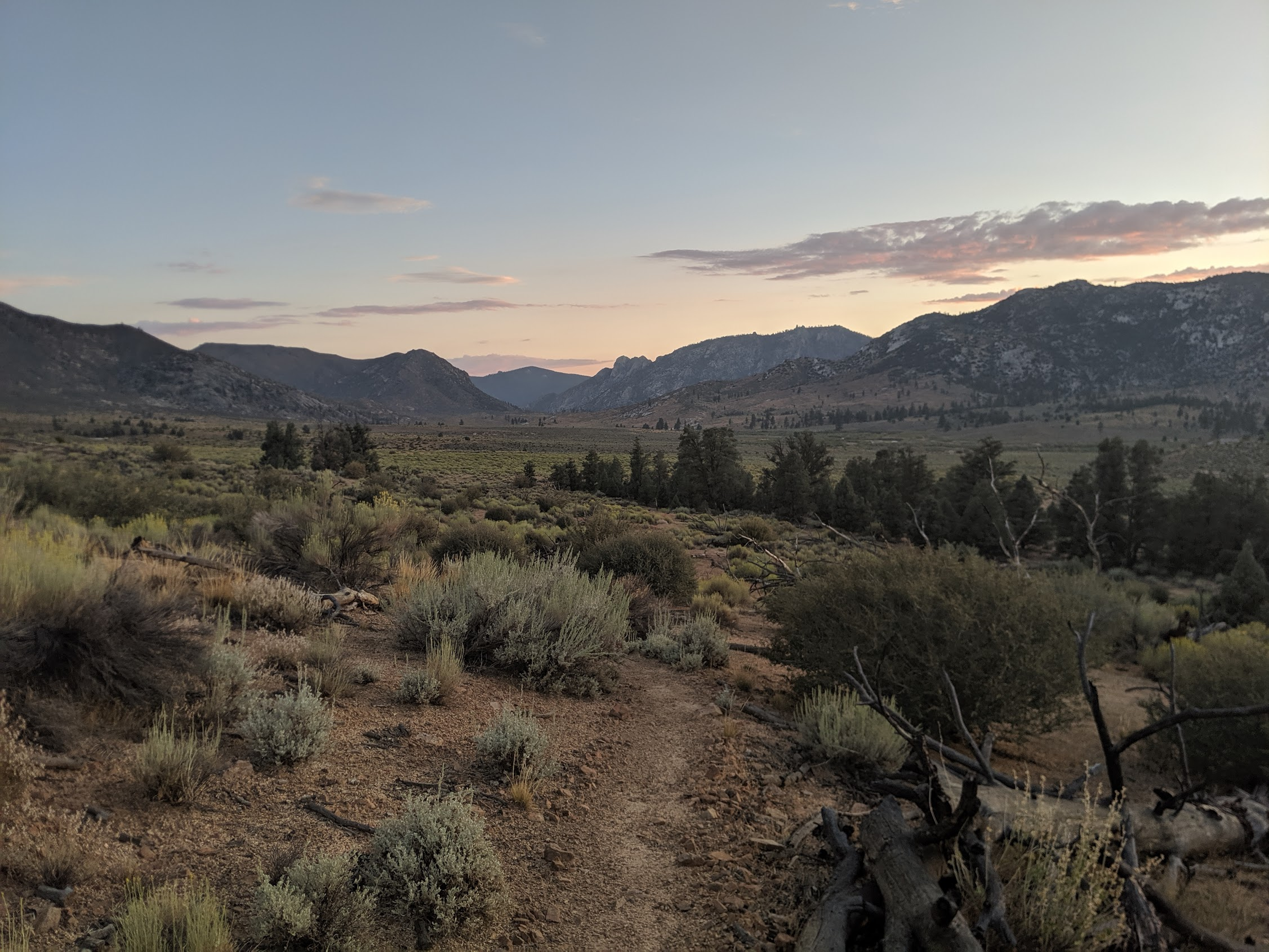
The next day went by in a blur as went further downhill. Water became less and less frequent and the desert crept in. By the time I had crossed the south fork of the Kern River, the tiny town of Kennedy Meadows was straight ahead.
After a quick resupply, a burger, and as much water as I could carry, I left towards Onyx, CA and Walker Pass. The landscape started to look like back home in Reno. More thunderstorms brewed on the horizon. While the cloud cover was nice, it proceeded to rain on me heavy in the evening. The gnats were nasty and I must have swallowed a couple. Water was more plentiful than the landscape would suggest. A couple more 20+ mile days and I would be descending down to Walker Pass and the town of Ridgecrest.
Next up, the real desert. Between here and Tehachapi is the driest section of the PCT. The forecast is unseasonably cool. I hope the trail angels have been filling up the water caches. If not, it could get a bit rough.