PCT SoBo Section B - Cabazon to Warner Springs

Going down from San Gorgonio was one of my favorite sections in SoCal. Not only did this feel like the first set of "real mountains" since leaving the Sierras, the journey down into the desert of around Cabazon reinforced just how connected the two ecosystems are. When I came back up to San Jacinto, I got to learn that lesson all over again. The area around San Jacinto was even more scenic than I had anticipated. Most of the PCT follows along a ridge with views down into Coachella Valley and over into Hemet. The landscape quickly descends from alpine to below sea level. I appreciated just how much the desert towns have grown in recent years. The whole area is developed from Cabazon to the Salton Sea.

After circling the peak of San Jacinto, the trail begins a descent along the ridge. I wouldn't be above 10k ft again on the trail. The area seemed like a popular spot for weekenders. I saw more people enjoying the trails in San Jacinto than anywhere else in Southern California. While pausing to admire the the sunset over Hemet, I turned around to see a kit fox wondering what a human was doing up here. It was one of the highlights of the wildlife I had seen on the entire trail.

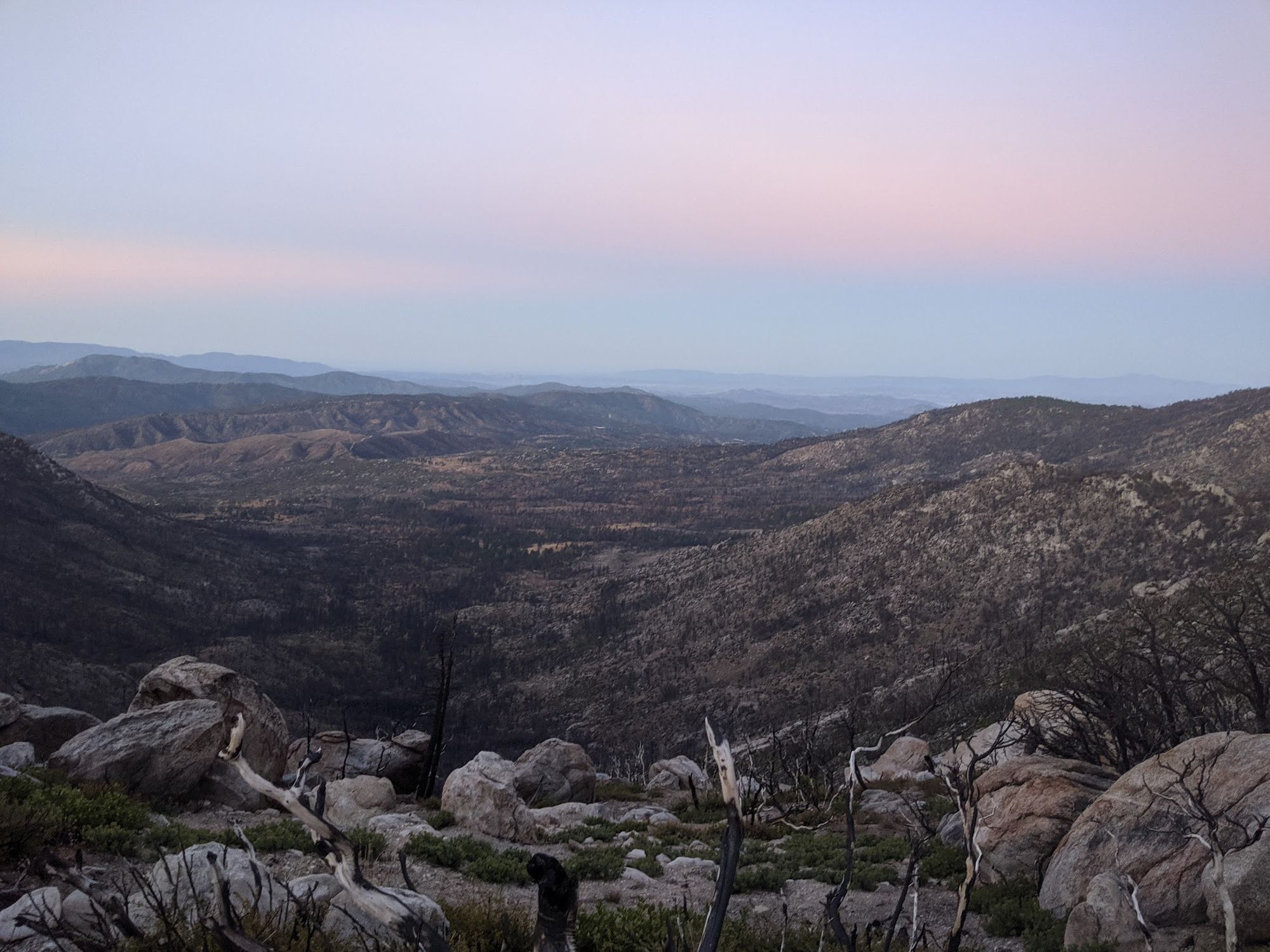
I hiked well into sundown, if only to enjoy the dusk as long as possible. Light lingered on and moon was close to full. The city lights of the Coachella Valley were a dazzling sight to behold. A large rock slide from earlier that year had forced huge boulders onto the trail around mile 172. It was in a section with a large drop off and it was getting pitch black dark. Carefully, I used the ropes that someone had securely tied around the boulder pile to make it to the other side of the trail. I set up a camp in a relatively flat area of the ridge shortly thereafter. The sunrise the morning after was one of the most beautiful I have ever seen. It is hard to beat a desert sunrise.

I spent most of the day working my way across the ridge and down to Highway 74. The wildlife seemed to be in overdrive, using the last bit of good weather before the winter came. Many squirrels and lizards busied themselves on the periphery of the trail and the birds and bees were flying up above. As I exited the San Jacinto wilderness area, the trail turned down into a high desert valley, replete with cactus and pinyon pine.
The next morning I stopped by the cafe about a mile down Highway 74 for some hiker fuel (a gigantic burger and sweet potatoes fries). The trail continued up into the hills around Anza. The pinyon disappeared and with it so did whatever ground cover from the sun. For the rest of the way to the border, only the rocks would provide shade. Natural water had become increasingly scarce as well. I carried almost double that amount because I've learned the hard way that you can't always rely on caches. Luckily, the volunteers in SoCal had prepared for southbounders and it wasn't an issue. It was actually nice not to have to filter any water for a change.

Before I knew it, I was in the small town of Warner Springs. I spent the night close to the community resource center that generously supplies hikers with a small shop, free bucket showers, and a place to charge my electronics. I ate at the restaurant in the golf course's club house and bought some food at the local gas station's convenience mart. I hit the trail in the late morning excited to be so close to the border and the end of my journey. I had entered the final section of the PCT.


